Geophysical Surveying and Mapping Florida - WrightPSM Geophysics

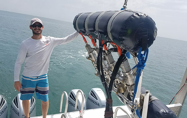
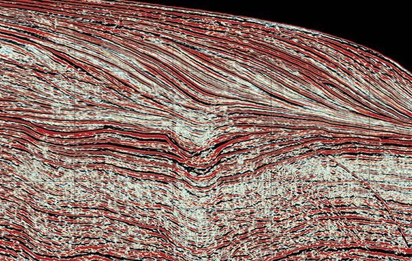
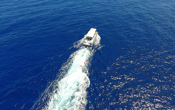
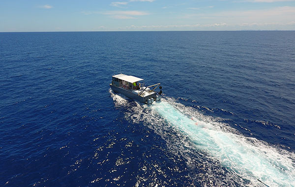
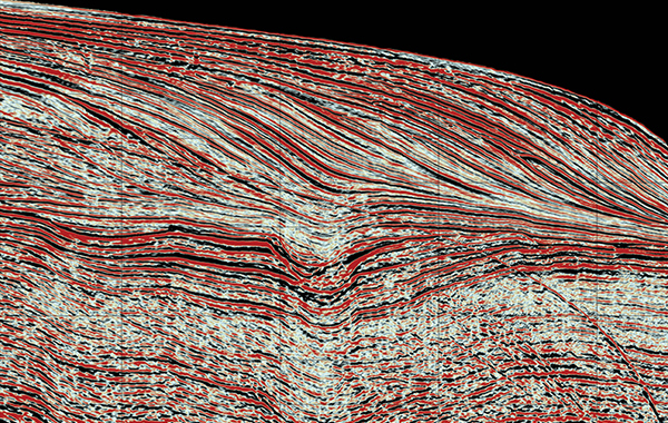
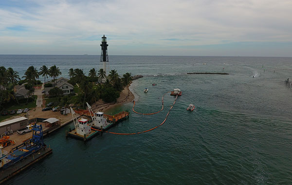
INNOVATIVE SOLUTIONS FOR SUBSURFACE IMAGING

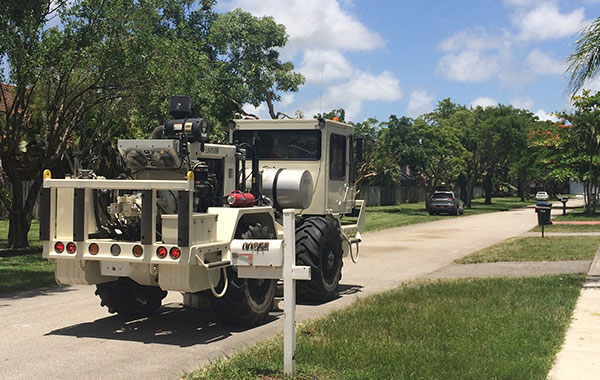
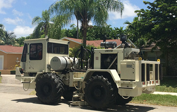
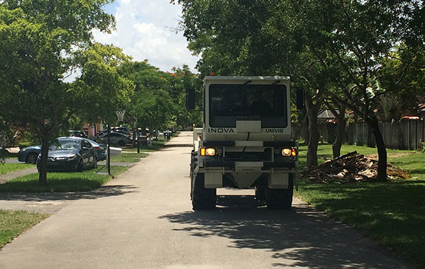
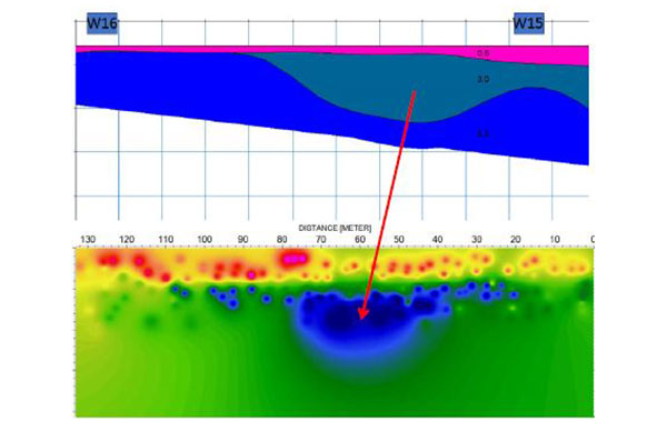
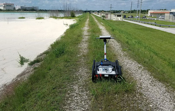
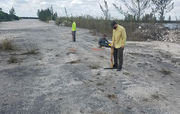
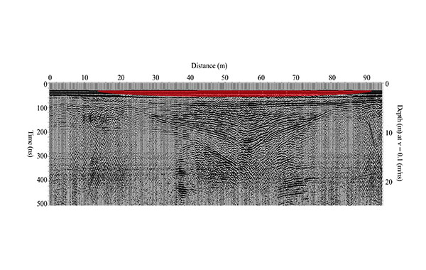
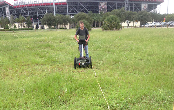
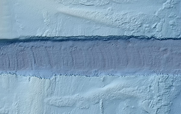
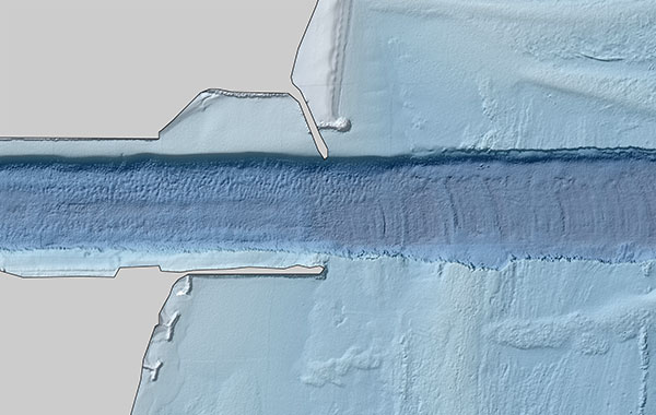
WrightPSM is proud to offer a full suite of geophysical services for imaging the subsurface at almost any scale, with the ability to mobilize globally.

We have always taken pride in our ability to offer our clients custom-tailored products on an as-needed basis, and we are excited to continue doing exactly that.

Email us at Geophysics@wrightpsm.com

Land and Marine Seismic​

Digital seismic data acquisition using customized software and equipment with a unique ability to perform seismic surveys in shallow marine, transitional land/marine, swamp, marsh, and other environments traditionally inaccessible to seismic survey equipment.​

Near Surface Imaging

We can image the subsurface with an array of non-invasive geophysical survey methods, and are able to work in any environment, detect a wide array of target types and depths, and can supply a number of different data visualization deliverables. We will work with you to design a near-surface geophysical survey for your specific subsurface imaging needs.

Hydrographic Surveys

We offer hydrographic survey services based on single or multi-beam echo sounder surveys. Choose from raw data formats, land survey linework with colorful presentation-level graphics, or DEMs for direct import to your GIS mapping software.​​

Land and Marine Seismic

Marine Multi-Channel Seismic Acquisition ​

  • Shallow (1m) and deep water towed streamer surveys
  • Structural stratigraphic survey: Offshore, coastal, bay, estuary & canal
  • Resource mapping: Aquifers, shallow hydrocarbon reservoirs (oil & gas), mineral deposits
  • Site characterization: Pre-dredging, construction & well planning
  • Engineering: Foundation, route surveys, tunnel, & karst​

Land 3D Seismic Surveys ​​

  • Pre-construction: Locate buried karst, tunnels, subsidence risk, abandoned mines, 3D site characterization surveys​
  • Large area survey capabilities
  • Drilling hazards: Faults / fracture zones, karst collapse​

Transition Zone Seismic Surveys​

  • Seismic surveys in previously inaccessible areas: Specialized equipment and methodologies for non-invasive surveying in canals, swamps, estuaries, and marshes
  • Marine seismic down to <1m depth
  • Simultaneous marine and land acquisition​​
  • 2D / 2.5D / 3D site characterization surveys

State Of The Art Equipment And Software​​

  • INOVA UNIVIB vibrating truck seismic source​
  • 20, 40 and 80 cubic inch seismic source airgun arrays​​​
  • Seamap Sealink solid streamers and recording system​
  • Geospace GCX-1 autonomous geophone nodes ​
  • QSeaCube (TM) – Proprietary quality control software for real time 2D/3D display and brute stack​
  • Kingdom Suite – 2D/3D interpretation
  • GPSeismic – Survey planning

Near Surface Imaging

Seismic Refraction Tomography​​​

  • Depth to bedrock maps and velocity estimations​ for ripability
  • Depth to ground water maps​​​
  • Shallow seismic velocity profile mapping

Ground Penetrating Radar (GPR)​

  • Geological, environmental, and archaeological investigations: Sinkhole imaging, depth to bedrock mapping, contamination plume mapping and monitoring, unmarked burial mapping, etc.​​
  • Industrial and residential services: Subsurface utilities, underground storage tanks, concrete reinforcements, general subsurface and subfloor investigations​​​​

Electromagnectic (EM) and Magnetic Surveys​​

  • Terrain Conductivity, Resistivity,  and Magnetometry​​​
  • Map electrical properties of subsurface rock and soil, local and regional geological investigations​​​​​
  • Map and identify contamination plumes, buried waste, and historic landfills​​​​
  • Mapping of ferrous materials: Mining exploration, well casings, archaeology applications, utility location​​​​​

Hydrographic Surveys

Hydrographic Surveys

  • Dredge monitoring and borrow areas: Existing conditions, pre-dredging and post-dredging surveys​​​​
  • Pipeline, utility cable corridor, and route surveys​
  • Ports, inlets, channels, and navigation clearance surveys
  • Survey services supporting marine construction
  • Single beam and multi beam sonar
Top